Beschreibung
preface demo – test
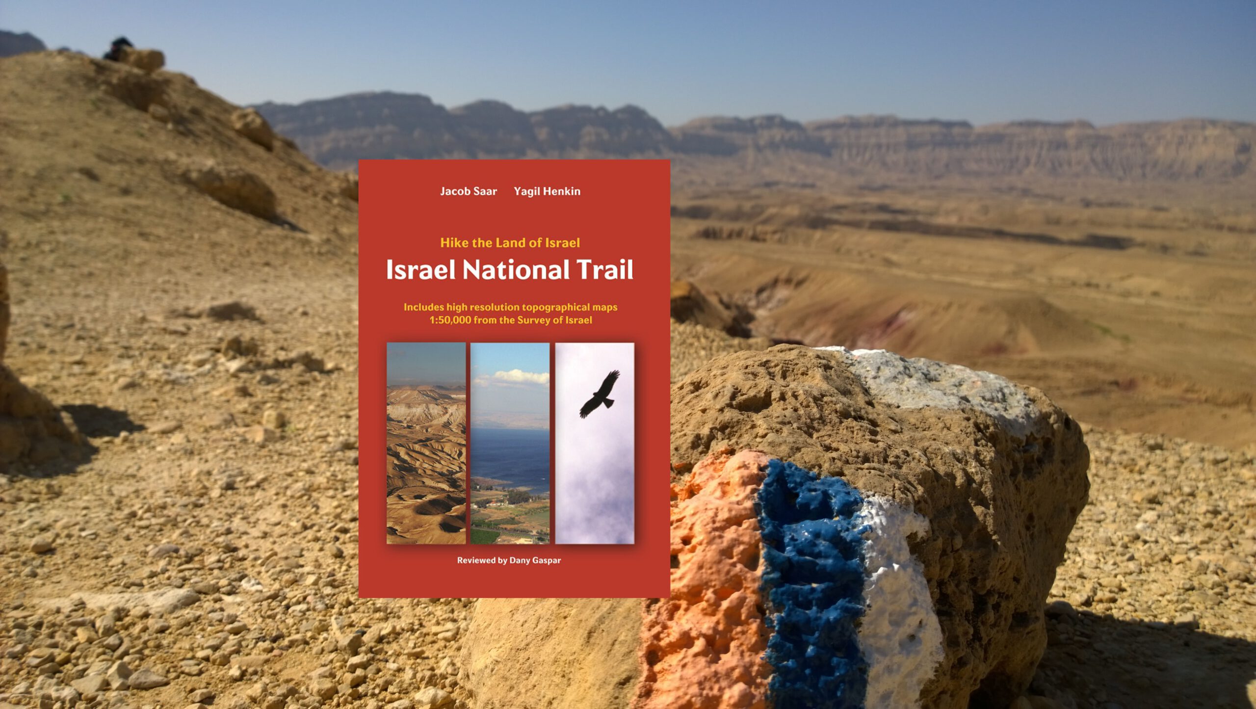
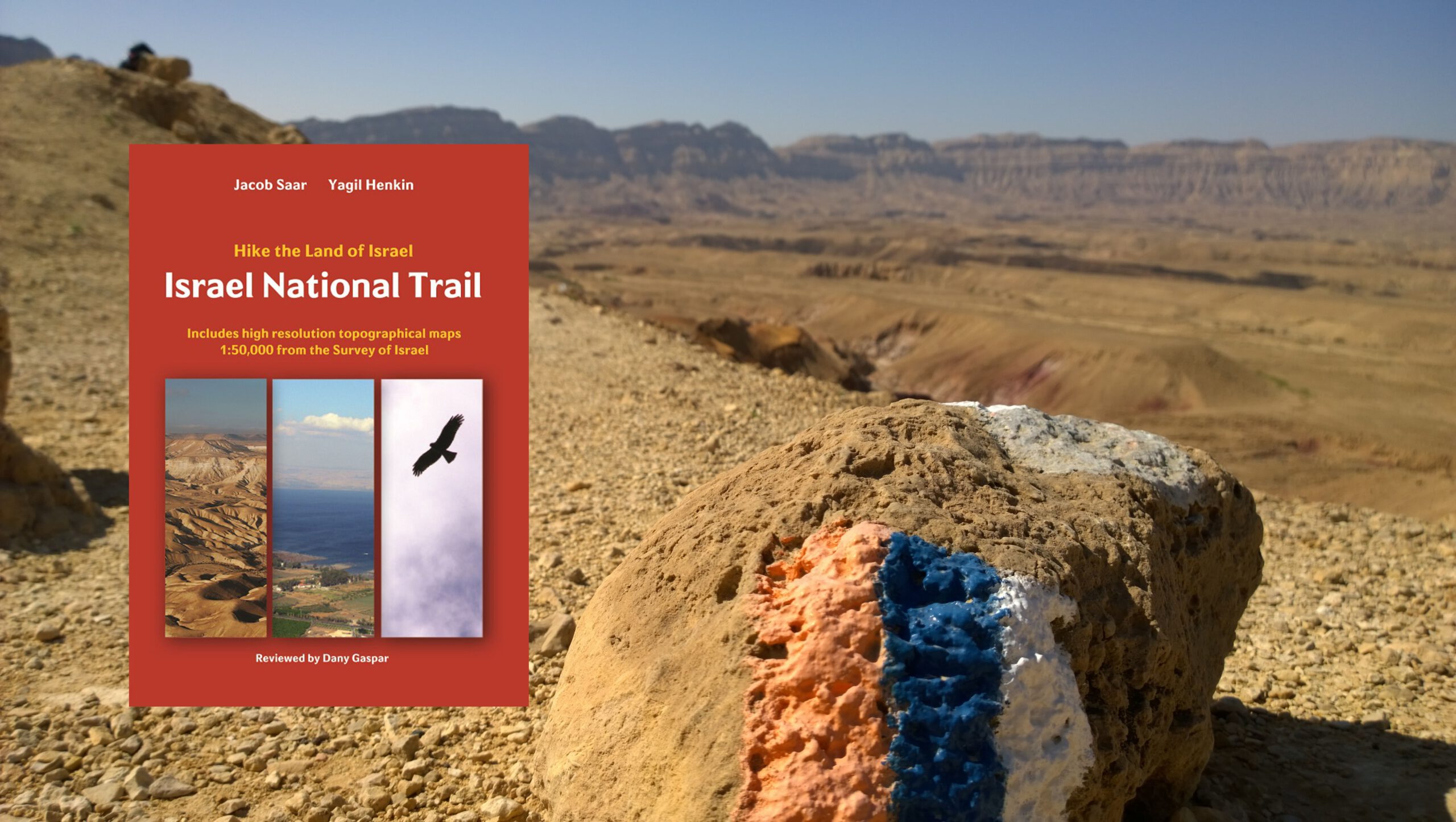
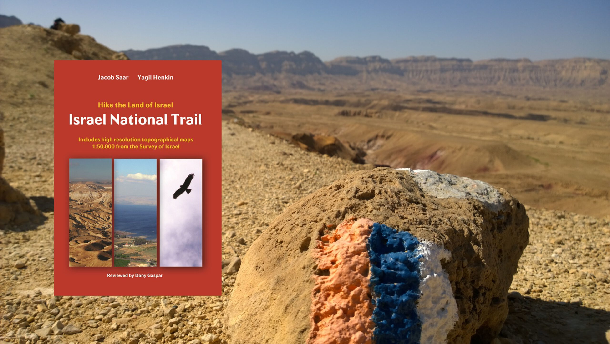
The Israel National Trail
Lorem ipsum dolor sit amet, consetetur sadipscing elitr, sed diam nonumy eirmod tempor invidunt ut labore et dolore magna aliquyam erat, sed diam voluptua. At vero eos et accusam et justo duo dolores et ea rebum. Stet clita kasd gubergren, no sea takimata sanctus est Lorem ipsum dolor sit amet. Lorem ipsum dolor sit amet, consetetur sadipscing elitr, sed diam nonumy eirmod tempor invidunt ut labore et dolore magna aliquyam erat, sed diam voluptua. At vero eos et accusam et justo duo dolores et ea rebum. Stet clita kasd gubergren, no sea takimata sanctus est Lorem ipsum dolor sit amet.
The idea of a long trail in Israel was initiated in 1985 by Avraham Tamir (1907-1988) after he had hiked the Appalachian Trail in the US in 1971 and 1972. His vision was to establish a similar trail in Israel. Avraham Tamir met with Ori Dvir (1931-2011) of the Society for the Protection of Nature in Israel [SPNI]. His vision inspired the initiation of the Israel National Trail [INT]. The Trail has been the work of many people from SPNI and people from all over the country who teamed together over many years. The marking of the trail began in 1986, and the late President Ezer Weizman officially inaugurated the INT in 1995. In the first years of its existence, a handful of visitors hiked the length of the trail, until gradually word spread to hiking enthusiasts throughout Israel. As of this writing, the length of the trail is about 1090 kilometers. Since then Shvil Israel has been the work of many people from SPNI and people from all over the country who teamed together over many years. The Trail runs from Kibbutz Dan in the far north of the country to Eilat the southern tip of the Israel. It intersects and overlaps with many trails – all part of the large network of trails.
The Trail winds from mount Hermon in the north to Eilat on the Red Sea. You will hike in several geographic areas. The 2,200-meter-high Mount Hermon and its ski resort, Upper and Lower Galilee, Sea of Galilee (Kinneret), Mount Carmel, the Mediterranean sea shore, Jerusalem, Judean Mountains and the Negev Desert. In Eilat you can complete, or start, the fascinating trip with snorkeling or scuba diving in the magnificent coral reef. Young hikers of 16 and hike addicts of 70+ years have completed the whole trek; I hope you join them soon.
Spring is the best time of the year for the trek. Between mid-February and mid-May, you will see the rich wild flora of Israel: anemone, cyclamen, daffodils, wild tulips, and the jewel in the crown: The Iris. Several species of these magnificent flowers bloom between February and April from the northern part of the Negev (near Arad) to the Upper Galilee. Spring is also the time when all creeks and rivers are full of water. Many water reservoirs and dry creeks in the desert are filled with water during late winter and spring, and the surrounding areas are covered with wild flowers. Spring is also the time of bird migration. From Eilat to the Hula Valley in northern Israel you will be walking while birds, on their way back home to Europe, pass overhead. During fall time, the second-best season for the trek, birds migrate from Europe to Africa. Bring binoculars with you, it will help you watch wild animals. Deer and ibexes in many areas are used to humans’ company. The Arabian oryx lives here too. Foxes are easy to spot at night, close to villages in the desert.
Historic and archaeological sites are spread along the trail. In the desert, you will pass near ruins of ancient Roman and Nabatean fortifications, originally built to defend and provide shelter to merchants passing on the Spice Road. On the Mediterranean shore, you will hike by the gates of ancient Arsuf (Phoenician name) or Apollonia (Hellenistic name). Further north on the shore is the magnificent ancient city of Caesarea. Hiking in Lower Galilee brings you to ancient Zippori (Sepphoris) a site of diverse archaeological legacies such as: Assyrian, Hellenistic, Roman, Byzantine, Islamic, Crusader and Ottoman conquerors of the Holy Land.
Some parts of the trail use ancient roads built by the Romans. One section is a Roman road going down from Mount Amasa to Drejat. This road was one of the main routes from Jerusalem to the southern parts of the country. Another one is “Caesar’s Road” in the Judean Mountains that was built circa 133 AD to allow Hadrian (78-138 AD) to lead his forces from the sea port of Ashkelon to Jerusalem, to quell the rebellion that broke out in 132. When you hike along route #375 east of
10
“Netiv Ha-Lamed Heh” you’ll notice that no big changes have occurred in almost 1900 years – route #375 is Caesar’s Road.
On October 15, 2019 the INT has been diverted to Masada and the Dead Sea. It’s a new section of about 90 km that goes in the lowest point on earth. While hiking by the Dead Sea you will also pass by fascinating geological sites.
The Negev Desert is one of the most beautiful desert treks on earth. It is a unique challenge to hikers. The trail goes through unique geological places of interest: “The three craters,” the largest of which is the Ramon Crater. You will hike all three of them in the northern part of the Negev Desert.
Art lovers will find Ein Hod a perfect place to stop for a day and visit the famous Marcel Janku (1895-1984) Dada Art Museum. Janku was among the founders of the Dadaist movement in Cabaret Voltaire in Zurich (1916).
Authentic ethnic food is served in many locations along the trail. Ethiopian meals and the bread that is prepared over a period of three days in Ein Hod is just one example of the variety of ethnic foods along the trail.
The Jerusalem Trail: While hiking the Jerusalem Trail you can plan to stop for a day or more and visit Jerusalem and places such as the Church of the Holy Sepulchre, the Dome of the Rock and the Wailing (Western) Wall. All three are within a 30-minute hike from the Jerusalem Trail and separated by only a few hundred meters, within a single square kilometer, in Jerusalem. St. John in the Desert monastery is just off the trail in Sapir, which is near Jerusalem. The Jerusalem trail guide and maps are available for a free download on the forum.
Tel Aviv: The trail goes through the Yarkon River Park, a large recreational area in Tel Aviv. You will hike within 5 kilometers of the famous Azrieli Center and its three towers: round, square and triangular.
Haifa and the Bahá’í World Center are 30 minutes by bus from the trail. On your way north from Haifa you pass Mount Carmel and the gates of Zippori. On the next day you arrive in Nazareth and the Church of the Annunciation, which are located just a few kilometers off the trail. Mount Tabor and the Transfiguration site are on the trail. Yardenit, the holy baptismal site on the Jordan River, is just 300 meters from the trail, south of the Sea of Galilee. A few kilometers to the north you will hike above the city of Tiberias, near the Mount of the Beatitudes and Capernaum. Both places are less than 10 minutes by bus from the trail.
The trek provides you with a unique opportunity to meet people of all religions and cultures. Jews, Christians, Moslems, Bahá’ís, Bedouins, Druze and Circassians live here.
Trail markers are tricolor – orange, blue and white of the INT, and red, green, blue, black and purple for area segments. In many cases the markers are both single and triple color markers. Please refer to the maps’ legend. The guide provides hikers with both tourist and practical

